Facts & prices checked: 2026-07-18
Ask ten Kilimanjaro operators which route is “underrated” and at least six will say Rongai. It’s the only trail that attacks the mountain from the north, near the Kenyan border, instead of from the busier southern or western approaches everyone else uses. That single geographic fact changes almost everything else about the climb: the weather it can handle, the crowds you’ll share it with, and what you’ll actually see on the way up.
I’ve routed guests coming through Matlai toward Rongai specifically when the calendar didn’t cooperate — a November booking, a client who’d read every review of Barranco Camp’s tent-to-tent congestion and wanted no part of it. The route-by-route rundown covers Rongai in summary alongside the other four options. This page goes deep on the one route most climbers never seriously consider: the camp-by-camp itinerary, the rain-shadow case for climbing it in the “wrong” season, and where its success rate actually sits against the routes everyone defaults to.
Rongai at a glance
| Approach | Northern slopes, near the Kenyan border — the only route from this side |
| Duration | 6–7 days (7 recommended) |
| Distance | ~79–81 km (49–50 miles) |
| Descent | Via the Marangu route, to Marangu Gate — a different exit than the ascent |
| Summit success rate | ~75–80% on the 7-day version |
| Crowd level | Among the quietest of all Kilimanjaro routes |
| Best for | Short-rains/long-rains climbers, wildlife interest, solitude over speed |
| Cost (7-day, budget–established operator) | USD 2,850–3,950+ |
| Government park fees (7-day, camping) | ~USD 956 |
Route overview: the only approach from the north
Rongai is the sole Kilimanjaro route that starts on the mountain’s northern flank, close to the Kenyan border, rather than climbing from the south or west like Machame, Lemosho, Marangu, and Umbwe. That single geographic quirk is the reason for almost everything else that makes this route distinct.
The northern slopes sit in Kilimanjaro’s rain shadow, which means Rongai receives meaningfully less precipitation than the southern and western approaches. It’s the driest route on the mountain. That’s not a marketing line — it’s a direct consequence of where the trail sits relative to the prevailing weather, and it’s the reason experienced operators steer short-rains and long-rains climbers toward Rongai when the calendar would otherwise be a gamble on the wetter sides.
There’s a second, less-advertised fact about Rongai’s geography: it’s the only route that fully traverses both Kilimanjaro’s arid northern slopes and its southern forest in a single climb. You start dry — thin forest, open moorland, the kind of terrain that stays firm underfoot even after rain elsewhere — and you finish descending through the greener, wetter southern forest via the Marangu side. No other route gives you both faces of the mountain in one trip.
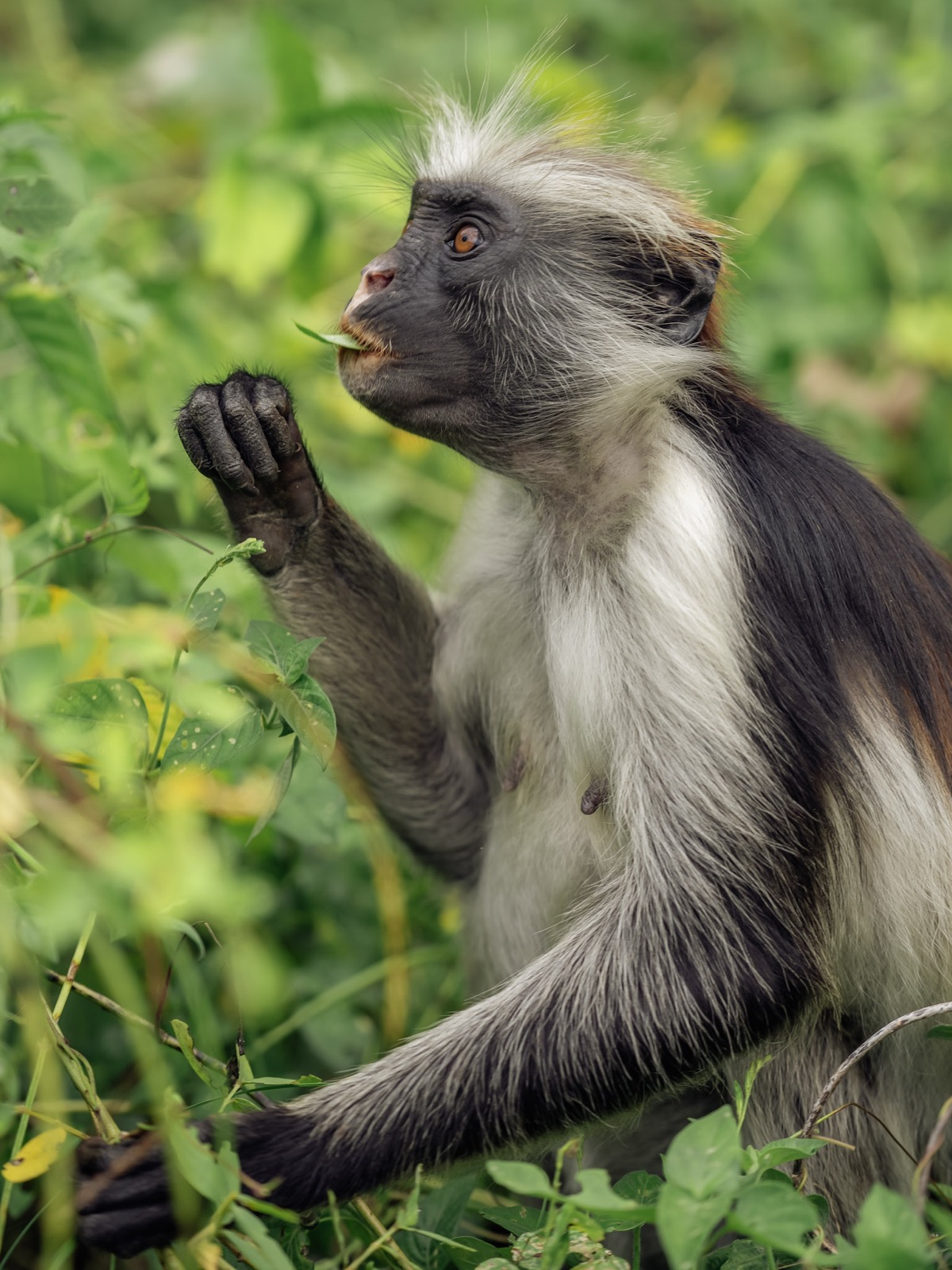
Rongai also runs through the quietest forest section of any Kilimanjaro route, and that quiet has a practical payoff: it’s regularly cited as the route with the best odds of seeing wildlife in the first two days, with antelope, elephant, and Cape buffalo all documented along the lower trail. Machame and Lemosho climbers see moorland and scree. Rongai climbers occasionally see buffalo tracks crossing the path.
Day-by-day: the 7-day Rongai itinerary
The standard, recommended itinerary runs seven days and follows a fixed camp sequence shared across nearly every operator running the route:
| Day | Route | Notes |
|---|---|---|
| Day 1 | Rongai Gate → Simba Camp | Forest zone; best wildlife odds of the whole route |
| Day 2 | Simba Camp → Second Cave | Transition from forest into moorland |
| Day 3 | Second Cave → Kikelelwa Cave | Open moorland, Mawenzi’s jagged profile comes into view |
| Day 4 | Kikelelwa Cave → Mawenzi Tarn Hut | Acclimatization terrain below Mawenzi’s crags |
| Day 5 | Mawenzi Tarn Hut → Kibo Hut (4,700 m) | Alpine desert; last camp before the summit push |
| Day 6 | Kibo Hut → Uhuru Peak (5,895 m) → Horombo Hut (3,720 m) | Midnight departure, 12–14 hour round trip via Stella Point (5,756 m), then straight down to Horombo |
| Day 7 | Horombo Hut → Marangu Gate | Descent to exit — a different gate from where you started |
A few things about this sequence are worth understanding before you book. First, Kibo Hut is shared infrastructure — it’s the same camp Marangu route climbers use, sitting at 4,700 m and serving as the last stop before both routes’ summit pushes. Second, despite the name “Kibo Hut” and “Horombo Hut,” Rongai climbers camp in tents at these sites rather than using the dormitory beds; the hut fee applies only to Marangu route climbers, while Rongai (like Machame, Lemosho, Umbwe, and the Northern Circuit) pays the camping fee instead. Third, the six-day version of this itinerary compresses days 3 and 4, which is exactly the acclimatization time you don’t want to lose.
Total distance across the climb runs approximately 79–81 km — sources differ slightly on the exact figure, which is normal for a mountain trail without a single official survey. Spread over seven days, that averages out to a manageable daily walking distance, though days 1 and 6 (summit day included) are considerably longer than the rest.
Why choose Rongai: the case for the quiet, dry route
The honest pitch for Rongai isn’t that it beats Machame or Lemosho on summit odds — it doesn’t, and I’ll get to the numbers below. The pitch is about what the days actually feel like.
It’s genuinely the quietest option. Rongai is consistently described — across multiple independent operator and travel-editorial sources — as having the fewest crowds and the strongest wilderness feel of any Kilimanjaro route. That’s not a subtle difference on the ground. Barranco Camp on a Machame or Lemosho itinerary during peak season can mean dozens of tents pitched within sight of each other. Rongai’s camps, even in the same weeks, don’t get that traffic, because the route sits apart from the main Moshi–Arusha access corridor and fewer operators specialize in running it.
It’s the reliable choice in the “wrong” season. If your travel dates land in October–November (short rains) or March–May (long rains), Rongai’s rain-shadow position is a legitimate operational advantage, not a consolation prize. The southern and western routes can turn genuinely miserable in the lower forest zones during these windows — cold, wet, slick trails for two days before you’re even above 3,000 m. Rongai stays comparatively dry through the same stretch.
The wildlife is real, not a brochure line. Documented sightings along the route include antelope, elephant, and Cape buffalo, concentrated in the forest zone on days 1 and 2. I wouldn’t set expectations at “guaranteed safari” — this is still primarily a mountain trek — but it’s the one Kilimanjaro route where wildlife is a genuine part of the experience rather than an afterthought mentioned once in the brochure.
Honest trade-off: if maximum summit probability is your only criterion, choose the Northern Circuit or Lemosho instead — both post higher, more consistently documented success rates. Rongai’s case is about the experience of the climb, not about buying the best odds available.
Camps and facilities on the Rongai side
Every camp on the Rongai route, including Kibo Hut and Horombo Hut in the final two days, is tented accommodation for Rongai climbers — even though two of those camp names include the word “Hut.” The actual huts at those sites are reserved for Marangu route climbers, who pay a separate hut fee; Rongai climbers pay the standard camping fee instead, currently USD 59 per person per night, on top of the USD 82.60 per day conservation fee and a one-time USD 23.60 rescue fee, all already including 18% VAT.
Because Rongai carries less climbing traffic than Machame or Lemosho, fewer operators run it as a primary, frequently-repeated route. That’s not automatically a problem — but it’s worth asking directly how many Rongai climbs your chosen operator leads in a typical season, rather than assuming deep route-specific experience the way you reasonably could with a Machame-focused company. A guide who has done Rongai a handful of times is not the same as a guide who has done it fifty times.
The other operational detail that catches climbers off guard: because Rongai starts on the north side and descends via Marangu, your exit point is on the opposite side of the mountain from your entry point. Reaching a return vehicle, or the next stage of a combined safari itinerary, typically means a 3–4 hour repositioning drive. A properly costed Rongai quote builds this into the price; a suspiciously cheap one sometimes doesn’t. Ask specifically how the return transfer is handled before you book.
Rongai also pairs cleanly with a northern-circuit safari extension — some operators run 14-day combined programs that link a Rongai climb directly with Lake Manyara and Ngorongoro Crater, using the Marangu-side descent as the natural handoff point into the safari vehicle.
Success rate and acclimatization profile
Published estimates for Rongai’s summit success rate vary more than I’d like, which is itself worth flagging honestly rather than picking whichever number sounds best. Depending on the source and itinerary length, figures range from roughly 65% up to a single operator’s claim of 95%. The more consistent aggregate figure across multiple independent estimates — and the one that matches what our own route-comparison data shows — sits at approximately 75–80% for the 7-day version. Treat any single-operator number quoting well above that range with some skepticism; it’s more likely marketing than an independently verified statistic.
What actually drives that number is the same acclimatization logic that governs every Kilimanjaro route: time spent at altitude before the summit push matters more than fitness. Rongai’s 7-day itinerary banks a genuine acclimatization night at Mawenzi Tarn Hut before continuing to Kibo Hut (4,700 m) — the shared final camp with the Marangu route — and that extra day is precisely what the 6-day compressed version sacrifices.
Summit night itself is identical in character to Marangu’s: a midnight departure from Kibo Hut, a 12–14 hour round trip via Stella Point (5,756 m) to Uhuru Peak (5,895 m), and a long descent back down. Uhuru Peak carries roughly half the oxygen available at sea level, and acute mountain sickness in its mild form — headache, nausea, poor sleep — is close to universal above 4,000 m on any route. Rongai’s acclimatization advantage happens in the days before summit night, not during it. For the full breakdown of AMS, HACE, HAPE, and the actual decision points on summit night, see our AMS and summit-night breakdown — it applies identically regardless of which route put you at Kibo Hut.
What to pack for Rongai specifically
Most of what you need for Rongai is identical to any other Kilimanjaro route, and our full Kilimanjaro packing list covers the complete layering system, summit-night kit, and porter weight limits in detail. A few things are specific to this route:
- Less rain gear urgency on the lower days. Because the northern slopes sit in the rain shadow, the forest-zone days that soak Machame and Lemosho climbers in wet months are usually dry on Rongai. Don’t skip rain protection entirely — pack it — but it earns a lower priority in your bag than it would on a wet-season southern-route climb.
- The same brutal cold at Kibo Hut. Rongai shares its final camp with Marangu at 4,700 m, and summit night is exactly as cold as it is on every other route. Nothing about Rongai’s gentler lower days should tempt you to under-pack for the top.
- A charged power bank, non-negotiably. There is no grid power anywhere above roughly 3,000 m on Kilimanjaro, on any route, and Rongai’s camps are no exception. Bring a fully charged power bank for your phone and camera batteries — there’s no charging it back once it’s flat.
- Binoculars, if wildlife interests you. Given the real chance of antelope, elephant, or buffalo sightings on days 1 and 2, a compact pair of binoculars earns its weight on this route in a way it wouldn’t on Machame or Lava Tower-bound Lemosho.
How Rongai compares to the other Kilimanjaro routes
Set against the mountain’s other four main options, Rongai occupies a specific niche rather than competing head-on for “best route” status:
- Vs. Machame and Lemosho: Both southern/western routes post higher, more consistently documented success rates (roughly 85–90%) and see more crowding, especially at Barranco. Choose Rongai over either if solitude and dry-season reliability during the short/long rains matter more to you than maximizing summit odds.
- Vs. Marangu: Rongai shares its descent path, final camp, and summit-night structure with Marangu, but arrives there via a longer, more gradual, tent-based itinerary rather than Marangu’s hut-based up-and-down-the-same-path route. Rongai’s acclimatization profile is meaningfully better than Marangu’s 5-day version.
- Vs. the Northern Circuit: The Northern Circuit posts the highest documented success rate on the mountain by circling more of Kilimanjaro over 9–10 days. If you have the extra time and want the best available odds, it beats Rongai on pure statistics — though at roughly two extra days and a materially higher operator price.
For the complete comparison table across all five routes — including exact camp elevations for Machame and Lemosho, and the full cost breakdown by route — see the full route comparison table. For timing your climb around Rongai’s rain-shadow advantage specifically, our Kilimanjaro when to go guide breaks down month-by-month conditions across all approaches.
Tim’s take
The Rongai climbers I’ve helped route over the years tend to share a profile: they’ve already read the Machame reviews, already seen the photos of Barranco Camp packed tent to tent in August, and asked, reasonably, whether there’s a quieter way up the same mountain. There is — it’s just not the one every blog defaults to recommending, because Rongai takes longer to explain and fewer operators have built their marketing around it. If a crowded campsite would genuinely bother you more than a few percentage points of summit probability, Rongai is the honest answer to that trade-off, not a compromise.
Related guides
- Kilimanjaro routes compared — Machame, Lemosho, Marangu, Rongai, and the Northern Circuit side by side, with full cost and success-rate tables
- When to climb Kilimanjaro — month-by-month conditions, including why Rongai handles the rainy-season windows differently
- Kilimanjaro planning guide — crew structure, tipping, and the full climb-planning overview
- getting fit for the climb — how to physically prepare regardless of which route you choose
- Kilimanjaro packing list — the complete gear list, layering system, and porter weight limits
- Mount Meru — Tanzania’s second-highest peak, and the quiet-mountain pairing many Rongai climbers add before or after Kilimanjaro
Frequently asked questions
How many days does the Rongai route take?
6 days is the technical minimum, but 7 days is what every operator I'd recommend actually books. The extra day adds acclimatization time at Mawenzi Tarn Hut before the push to Kibo Hut, and it's the difference between a rushed summit night and a manageable one. Treat 6 days as a budget compromise, not the standard.
Is Rongai the easiest Kilimanjaro route?
Some operators describe Rongai's gradient as more gradual than the southern routes, but 'easier terrain' and 'easier summit' are not the same thing. Its ~75–80% success rate on the 7-day version sits behind Lemosho and well behind the Northern Circuit — acclimatization profile matters more than slope angle.
When is the best time to climb the Rongai route?
Rongai's rain-shadow position makes it the strongest option during the short rains (October–November) and long rains (March–May), when Machame and Lemosho can turn genuinely wet and cold in the lower forest. It also climbs fine in the main dry seasons (June–October, January–February) — it just doesn't need them the way the southern routes do.
Why is Rongai less crowded than Machame or Lemosho?
It's the only route approaching from the mountain's northern, Kenya-border side, which puts it geographically apart from the Moshi–Arusha access corridor that feeds Machame, Lemosho, and Umbwe. Fewer operators run it as a primary route, and the numbers reflect it — you'll pass a fraction of the tents you'd see at Barranco or Shira 2 on a comparable night.
Can you actually see wildlife on the Rongai route?
Yes — antelope, elephant, and Cape buffalo have all been documented along the route, mostly in the quieter forest of the first two days. Rongai is regularly described as the Kilimanjaro route with the best early-days wildlife odds, which is not something you'll hear said about Machame or Barafu-bound Lemosho.
How much does the Rongai route cost?
Budget and mid-range operators list 7-day Rongai packages from around USD 2,850 all-in; established operators such as Ian Taylor Trekking start their Rongai packages closer to USD 3,950. Of either figure, roughly USD 956 is fixed government park and rescue fees (already including 18% VAT) before any operator margin, guide, or crew cost is added.
Does the Rongai route descend the way it goes up?
No. You climb from the north side near the Kenyan border and descend via the Marangu route to Marangu Gate — a different exit entirely. That means your transport pickup is on the opposite side of the mountain from where you started, typically a 3–4 hour drive to reposition, and it should be built into your operator's quote rather than treated as an afterthought.
What is summit night like on the Rongai route?
Rongai shares its final camp and summit push with the Marangu route: you leave Kibo Hut (4,700 m) around midnight for a 12–14 hour round trip via Stella Point (5,756 m) to Uhuru Peak (5,895 m) and back down. It's the same demanding night every Kilimanjaro climber faces — Rongai doesn't make the mountain's highest point any easier, only the days leading up to it quieter.